Census and climate data uncover internal migration patterns in North Latin America and the Caribbean.
However, everything hinges on the canícula, roughly translated to dog days or high summer. When the canículaarrives early, or is drier or lasts longer than usual, it threatens crops in both planting seasons. An unpredictable canícula also nixes the possibility of a third planting in humid regions.
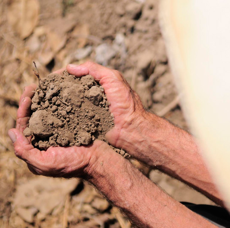
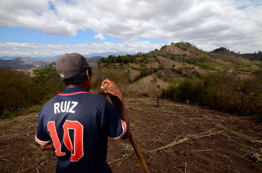
In the last decade, recurrent droughts, excessive rains, and flooding have plagued Central America. And in the last four years, a deep drought has settled in, often intensifying the canícula and preventing either rainy season from happening at all. In the Dry Corridor, an arid swath of lowlands covering the Pacific Coast from El Salvador to Costa Rica, maize farmers have lost more than 60 percent of their crop, and bean farmers 80 percent. Humanitarian organizations estimate that close to half a million people are vulnerable to moderate to severe food shortage. Reports of people leaving farming areas for jobs in nearby cities and countries have dire implications for the region’s food security.
Valerie Mueller, formerly a researcher at the International Food Policy Research Institute in Washington, D.C. and now an assistant professor at Arizona State University, was drawn to the growing crisis in Central America as well as in Mexico and the Caribbean. She had been studying similar drought-related crises in Asia and Africa by probing population and climate data. The drought and migrations in Central America and neighboring countries suggested a strong link between climate and migration. Could the data yield patterns that might help humanitarian organizations find the best way to provide aid?
The power of weighted averages
To start with, Mueller needed a way to estimate the impact of climate events on populations. She worked with colleagues Javier Baez and German Caruso at the World Bank and Chiyu Niu at the University of Illinois, now also with the World Bank, to find the right combination of data sets.
They chose to use a population-weighted average, a common statistical tool to study populations. In this averaging method, instead of each data point contributing equally to a final average, some data points contribute more weight than others. Niu explained, “Let’s say for example, that in the state of North Carolina there are more trees than people and in the state of Virginia there are more people than trees. Then a storm hits both areas with heavy rainfall. Because we’re studying the impact of the storm on human beings, rather than trees we want, Virginia to weigh more because there are more people there than in North Carolina.”
Mueller added, “Population-weighted averages allow us to place more weight and attention on shock that happened in grids that are highly populated. That’s where we expect the climate exposure to happen.” To calculate population-weighted averages for all provinces in their study area, they downloaded population data from NASA’s Socioeconomic Data and Applications Center (SEDAC). The data are organized using a geographical grid, which makes them easier to link with satellite and other climatic data. This way, researchers can study how certain environmental factors affect different locations.
Mueller and her colleagues combined the averages with temperature and rainfall records to generate historical rainfall and temperature data for all provinces in their study area. They also combined the averages with daily rainfall data from NASA’s Tropical Rainfall Measuring Mission (TRMM) to identify hurricanes that affected the populations, and with data from the International Disaster Database (EM-DAT) to identify droughts. The researchers also tapped numbers on gross domestic product per capita and aid culled from the World Bank.
Finally, the researchers needed census records that included migration status, or whether the person migrated from somewhere within the last five years prior to the census; the age of the person at the time of the survey; and details about the person’s sex and education. They could only find useable census records for Costa Rica, Dominican Republic, El Salvador, Haiti, Jamaica, Mexico, Nicaragua, and Panama, so they limited the study to those countries. The census years ranged from as early as 1982 to as recent as 2011.
When they analyzed the census records alone, they found that over a five-year period, 5 percent of the population within each of the countries had moved across provinces. When they combined the census data with the population-weighted climatic data, more details emerged about which part of the population was moving and why.
Departures in the data
Mueller and her colleagues found that younger people, ranging from 15 to 35 years old, are more likely to migrate to other provinces in response to disasters, especially droughts. “One reason is that if the household’s head leaves, it’s probably more devastating to local production than if an adolescent left,” Mueller said. “They don’t have strong property rights in a lot of these places. If someone as significant to the household as the head leaves, there’s a fear that the land will be expropriated, or taken by the government—ostensibly to be used for the public good.”
The findings suggested that young migrants were likely to relocate to rural and small-town settings, possibly for off-farm jobs. “This may be because the young migrants may not have enough money to move to farther urban areas,” Mueller said.
Their analysis also showed that youth from wealthier countries are more likely to migrate to other provinces in the wake of a drought than a hurricane. Although the analysis could not explain why, Mueller and her colleagues have theories. People lose jobs because there are no seedlings to plant, no growing crops to fertilize or care for, or nothing to harvest at season’s end. So a drought increases the number of people who need jobs.
“Wealthier countries can accommodate this increase in the supply of workers caused by a drought,” Mueller said. It seems counterintuitive then that these young people in wealthier countries would still choose to leave during a drought, but when they can no longer find jobs in their local communities, they can still find jobs outside of agriculture elsewhere in the country. Young people in poorer countries do not have that choice.
Trapped populations
“In poor countries, you might see that migration goes down because the demand for seasonal or other forms of employment declines with exposure to a climatic shock,” Mueller said. “This has been referred to as the ‘trapped population dynamic.’” Researchers describe the dynamic as the double set of risks that poor populations face when dealing with an environmental threat: they are unable to move away from these threats, and poverty makes them especially vulnerable to environmental changes.
Finally, Mueller and her colleagues found that targeted aid appears to mediate the exodus of young people from drought-stricken areas. “We’ve seen that people are not necessarily more likely to migrate in response to a natural disaster because a country’s social protections target households in areas that are vulnerable to that specific disaster,” Mueller said.
Mueller cited her previous study on Pakistan where social protection programs target areas prone to flooding. In that study, she saw that people were also likely to migrate because of a drought rather than flooding. “We posit that one of the reasons why they might not be migrating because of the floods was because they lived in areas that are prone to flooding and that they were receiving stipends during that event,” she said.
“Our findings highlight the importance of social protection and regional planning polices to reduce the vulnerability of youth to droughts in the future,” Mueller said. “Social protections may play a strong role in reducing environmental displacement for these young people.”
Originally published in Sensing Our Planet: NASA Earth Science Research Features. Read the story on the NASA site here.